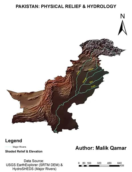
When people hear ArcGIS, they often think of maps. While mapping is at its core, ArcGIS has evolved into a comprehensive geospatial platform that helps governments, businesses, researchers, and environmental organizations solve real-world challenges through location intelligence.
Every day, ArcGIS is used to answer critical questions:
Where should new infrastructure be built?
Which agricultural fields need immediate attention?
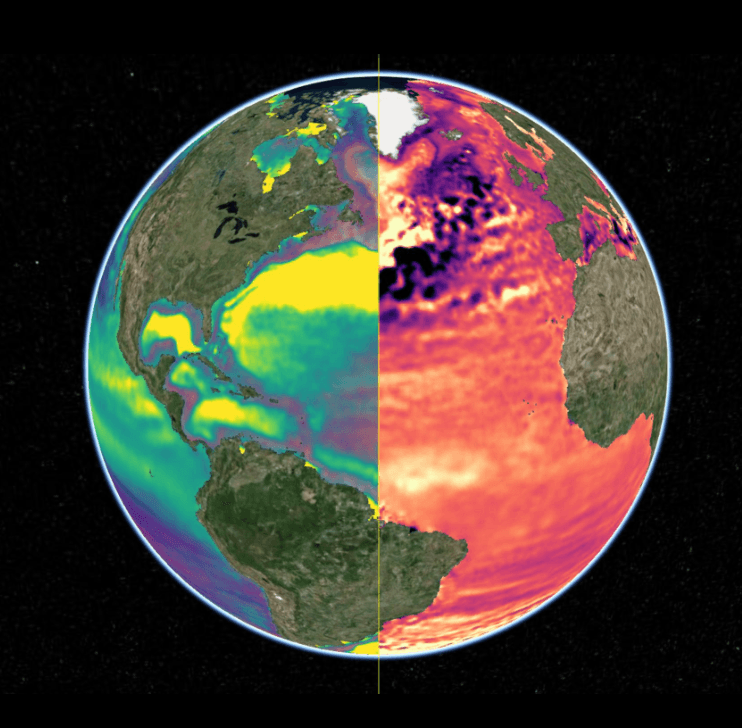
How is climate change affecting different regions?
What is the fastest route for emergency response?
Which areas are most vulnerable to flooding or drought?
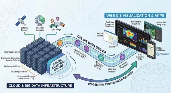
By combining satellite imagery, GIS data, drones, IoT sensors, and real-time analytics, ArcGIS transforms raw spatial data into meaningful insights. Instead of simply visualizing information, it enables organizations to predict trends, optimize resources, and make informed decisions.
One of the most exciting developments is the integration of AI and machine learning within ArcGIS. These technologies automate feature extraction from satellite imagery, detect environmental changes, classify land use, and accelerate workflows that once required hours of manual analysis.
Cloud-based solutions such as ArcGIS Online have also made collaboration easier than ever. Teams across different locations can share interactive maps, dashboards, and reports in real time, ensuring that decision-makers always have access to the latest information.
As someone passionate about GIS and remote sensing, I believe ArcGIS is no longer just a software platform it's a bridge between data and decision-making. Whether it's supporting precision agriculture, monitoring climate change, planning smart cities, or responding to natural disasters, ArcGIS continues to shape the future of geospatial technology.
The future of GIS is not just about creating better mapsit's about creating better decisions.
How are you using ArcGIS in your work or studies? I'd love to hear your experiences and the projects you're working on.